
Topographical Survey
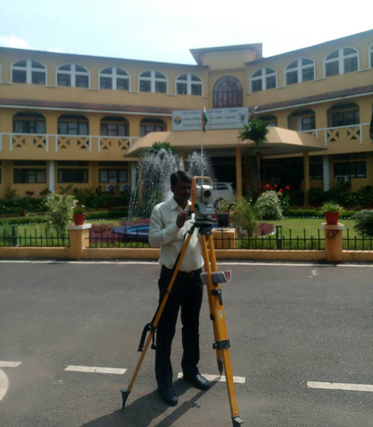
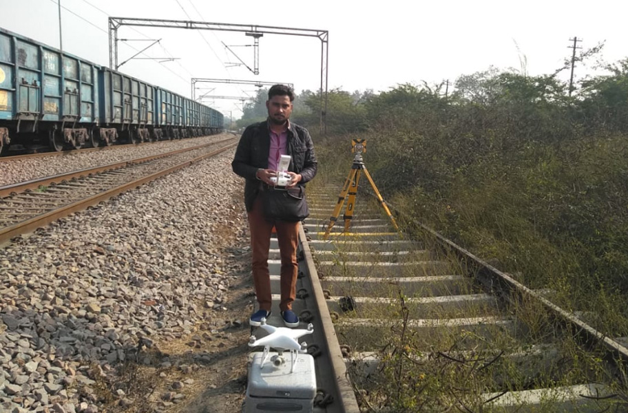
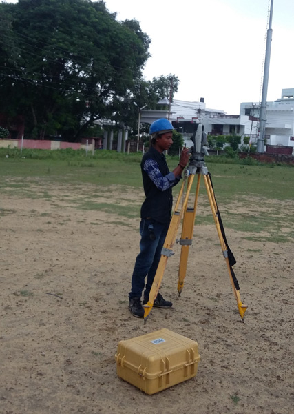
Engineering Surveying is the specialized area of civil engineering. It is defined as those activities involved in the practice and application of surveying principles for the location, design, construction and maintenance and operation of engineered projects. In the past GTECH CONSULTANCY SERVICES has completed more than 200 jobs for various engineering surveys like Topographical, Hydrographical & Route Surveying with the use of state-of-art equipments like DGPS, Hand GPS, and Total Station & Digital Levels.
Engineering Survey and Drawing
- Topographical Survey with DGPS, GPS & modern Total Stations
- Leveling by Digital Level & Auto Level instruments.
- Hydrographic Survey through Total Station, Current meter, Echo-sounder etc.
- Profiling, Contouring, Leveling, Curve setting, etc.
- Route alignment for roads, bridges, pipelines, power lines etc.
- As built survey for developed city regions.
- Quantity survey after construction.
Engineering Drawings
- Creating Engineering drawings, Topographical Maps with the help of advanced software like AutoCAD
- Calculation of cut-fill volumes.
- Preparation of Detailed Survey Report.
- Preparation of Feasibility Report.
- Digital Terrain Modeling of the topographical maps
CPWD, Goa
ICAR-CCARI, Ela, Old Goa
RVNL
Memu car shed, near south loco coloney Kanpur
UPRNN
HBTU, Kanpur